Many years ago we dealt with an estate that had an impressive amount of geological surveys of the United States and books on mining and similar, mostly from the 19th and early 20th centuries. Many of them were kinda falling apart. But many had large, amazing fold-out maps, incredibly detailed drawings of the flora and fauna encountered; chronicles of the western expansion of the country. Fascinating stuff, even if the science of it all is entirely over my head.
We're down to our last few volumes from that estate. We've put them to auction, significantly lowering the starting price and would love to see them go to good homes! As these are auctions, they are listed on eBay.
Firstly, the one with a bid and ending on Wednesday, February 22, 2023:
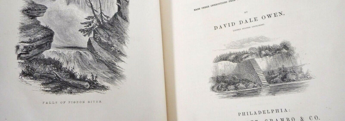
Report Geological Survey Wisconsin Iowa Minnesota by David Dale Owen, 1852

This is an oversize, heavy book, with a large impressive map! Hardcover, approx. 10'' x 12.5'' inches. 638 pages, with 27 black and white plates of fossils, two maps ("Map showing the position of the Bad Lands or Mauvaises Terres of Nebraska" in black and white, and "Geological Map of parts of Minnesota and Wisconsin designed to show portions of the rock formations now concealed by drift", in color). There appear to be 17 fold-outs, and one final non-fold out diagram.
Lots more photos and description at the link below.
Check out the auction and stake your claim if you are so inclined!
Report on the Geological Survey of the State of Iowa by Charles White, 1870 in two volumes

Report to the thirteenth general assembly, January, 1870, containing results of examinations and observations made within the years 1866, 1867, 1868, and 1869. Contains several fold-out diagrams, several black and white diagrams landscape plates and incidental illustrations.
Contains large fold-out color map in the back of Volume 2 of The Geological Map of the State of Iowa, approx. 13'' x 18'' inches with border, ~2 inch tear near spine, otherwise in excellent condition.
See more photos and description at the eBay listing.
Eldorado Adventures in the Path of Empire by Bayard Taylor, 1850, in two volumes

Comprising a voyage to California, via Panama; Life in San Francisco and Monterey; ..., and experiences of Mexican Travel.
Coral and Coral Islands by James D. Dana, 1890

Signed and dated, F. (Frederick) Leslie Ransome, February 15, 1896.
Fully illustrated in black and white with 13 plates (a few of which are full color). Includes two fold-out maps (see photos!). Hardcover, approx. 7''9.5'' inches. 440 pages. Black cover boards with red decoration and gilt titles remain clear and bright. Some scuffing on cover, corners bumped, tearing on front lower half spine, a couple small tears at top spine end. Upper page edges are gilt. Front free endpage has previous owner's name and date - the American geologist F. Leslie Ransome, February 15, 1896 (at which point he would have been 27 or 28 years old). According to the preface, there is much discussion of Darwin's theories on coral reefs, and opposing theories.